Why Do We Need Coordinates?
In this lesson, we will learn what coordinates are, why they are important, and where we use them in our daily lives.
Lesson Overview
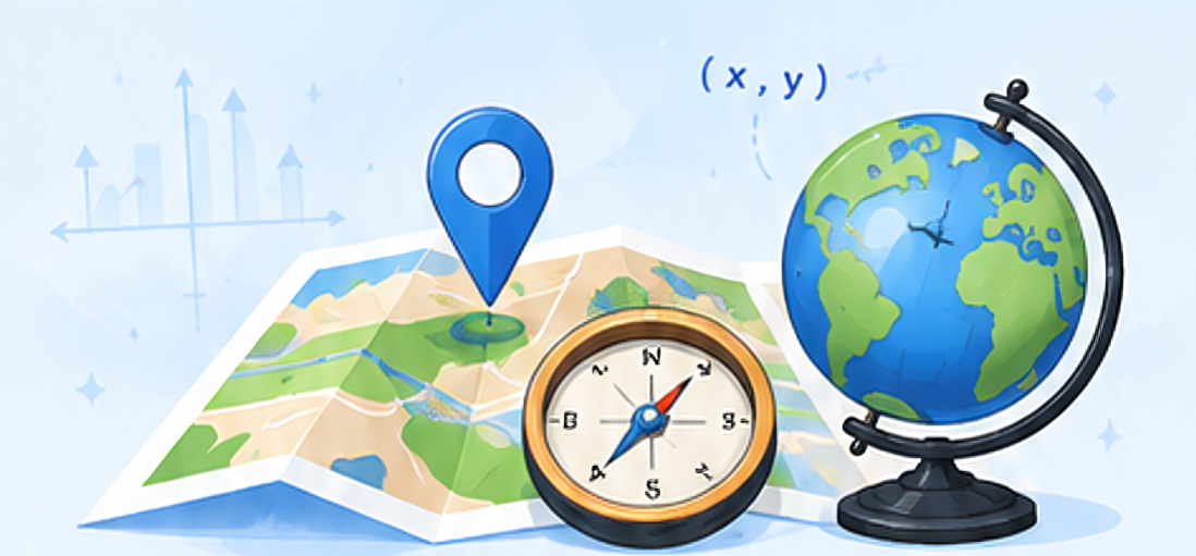
Have you ever tried to find a friend’s house in a new city? How does Google Maps know exactly where you are? How do pilots, sailors, and delivery drivers find their destinations?
The answer is simple: Coordinates!
In this lesson, we will learn what coordinates are, why they are important, and where we use them in our daily lives.
🎯 What You Will Learn
After completing this lesson, students will be able to:
- Explain what coordinates are.
- Understand the need for coordinates.
- Identify real-life applications of coordinates.
- Relate coordinates to maps and navigation.
Video Lesson (Coming Soon)
A Small Classroom Story
Imagine that your friend asks, “Where are you sitting in the classroom?” You may answer: “Near the window.” or “At the back.”
These descriptions are not exact.
You can say:
This gives an exact location. Coordinates work in the same way. They help us identify the exact position of a point or object.
What Are Coordinates?
Coordinates are a set of numbers used to describe the exact location of a point. They act like an address for a location. Just as your home has an address, every point on a graph can have coordinates.
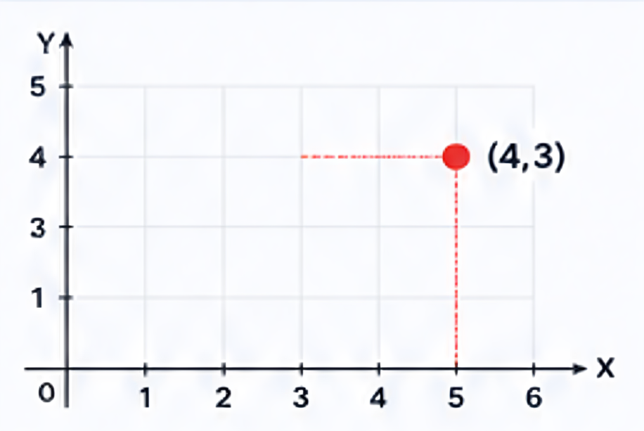
Example:
(4, 3) This pair of numbers tells us the exact position of a point.
Did You Know?
Google Maps uses coordinates every second to show your exact location!
Important

Coordinates identify exact locations and make information clear and precise.
Where Do We Use Coordinates?
Locate Places Accurately
Maps use coordinates to identify places like schools, hospitals, airports, etc.
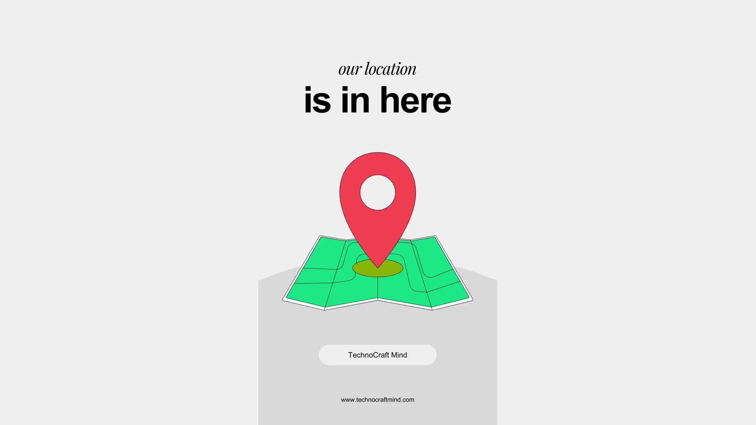
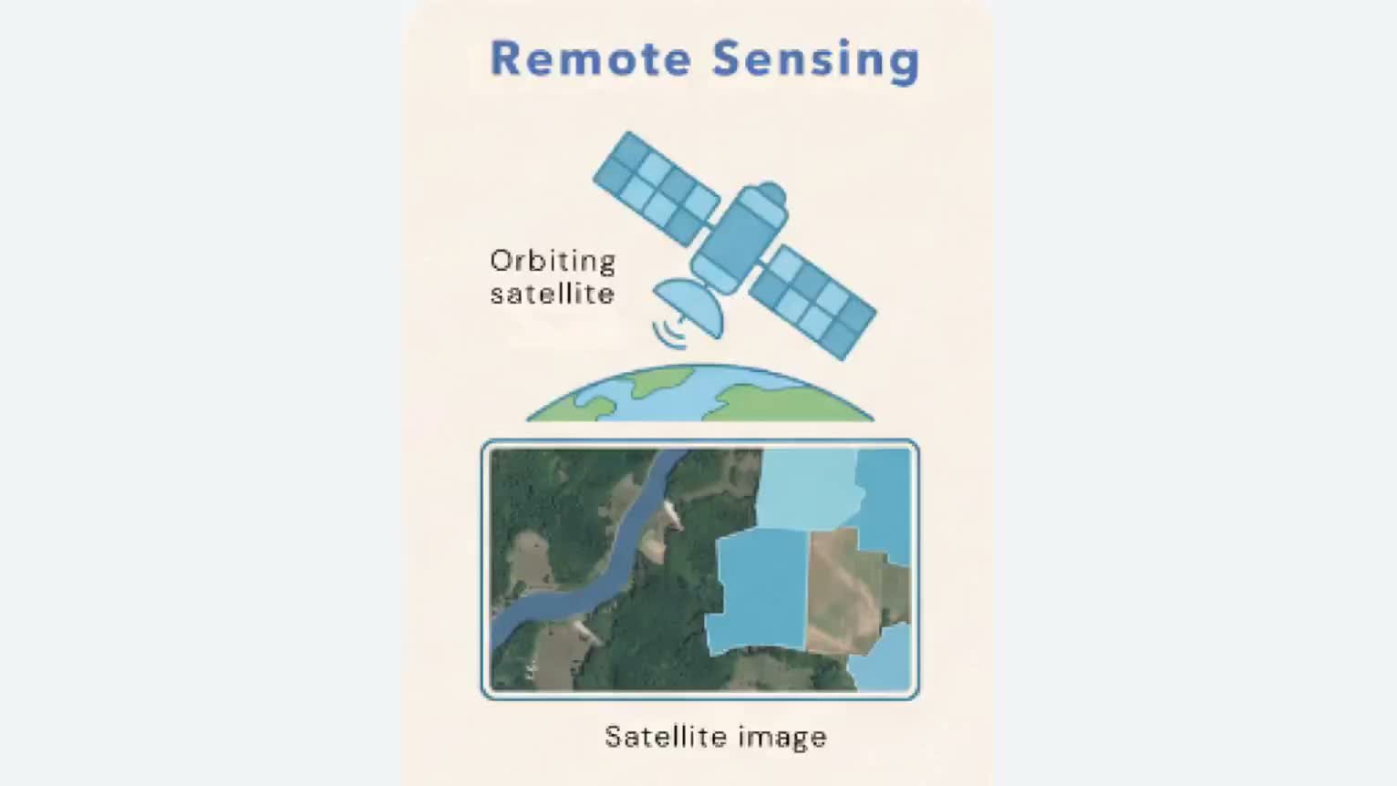
Use GPS Navigation
GPS satellites calculate coordinates to help us find our exact location.
Smart Cities
Roads, buildings, parks, and public facilities are often planned using coordinate systems.


Design Computer Graphics
Every image displayed on a computer screen consists of points located using coordinates.
Study Mathematics and Science
Coordinates help us, draw graphs, solve geometric problems, study motion and position

Air Navigation
Pilots use location Scientists use coordinates
systems to travel to study motion, maps,
safely.
Real Life Examples
Chess Board
Each square has a specific position.
Example: E4, A1, H8

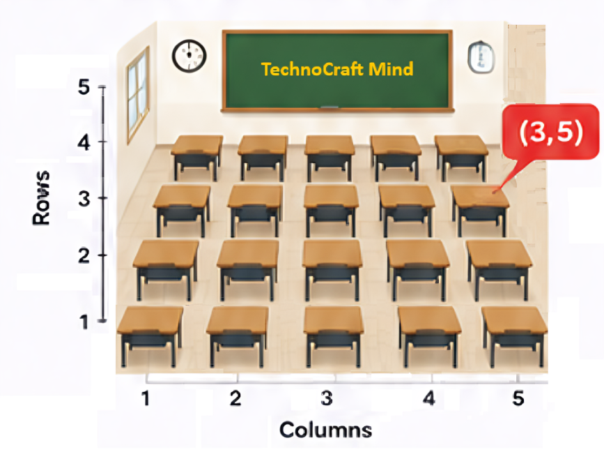
Classroom Sitting
A student in Row 2 and Column 4 can be represented by (2,4).

Delivery Apps
Food and parcel delivery apps use coordinates to reach your location.

Google Maps
Maps use latitude and longitude coordinates to locate places precisely.
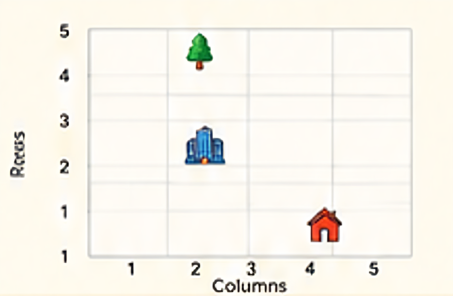
Fun Activity
- Draw a 5 x 5 grid in your notebook.
- Label rows and columns.
- Make the following points:
- Your school at (2,3)
- Your home at (4,1)
- A park at (1,5)
- Now ask a friend to find these locations.

Key Terms
- Coordinate – A pair of numbers showing locations.
- Position – Exact place of an object.
- Grid – Network of horizontal and vertical lines.
- Map – Representation of an area.
- GPS – Global Positioning System.
Practical Questions
- Coordinates help us find the _________ location of a point.
- Which application uses coordinates?
- Calculator
- Google maps
- Camera
- Music player
Assignment
Create a simple map of your classroom or home. Mark at least 5 important locations. Assign coordinates to each location and write them bellow the map.
Summary
- Coordinate help us identify exact locations.
- They are used in maps, navigation, city planning, and computer graphics.
- Coordinates act likes an address for a point.
- They make communication about location accurate and easy.